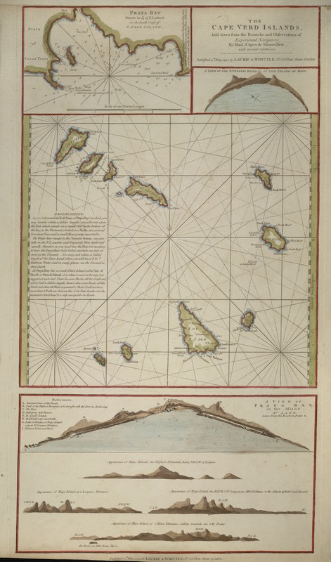
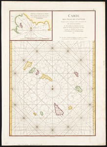
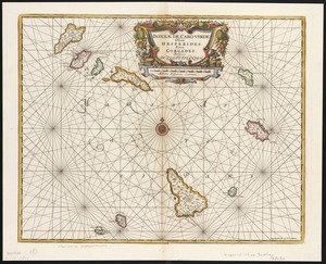
The Cape Verd Islands : laid down from the remarks and observations of experienced navigators
The Cape Verd Islands
Item Information
Title:
The Cape Verd Islands : laid down from the remarks and observations of experienced navigators
Description:
Published by Robert Laurie and James Whittle, London mapmakers and engravers who were active in the early 1800s, this navigational chart used rhumb or directional lines to assist navigators in plotting their course to and from the Cape Verde Islands. The chart is based on observations recorded by the prolific French mapmaker Jean Baptiste d'Apres de Mannevillette. The headland views or coastal silhouettes in the upper right and the lower insets of the map assisted sailors in identifying the various islands as they approached from the sea. The sidebar on the left even included tips for sailors, for example, "as you head into the Bay it is necessary to have the top gallant sails furled..." Upon entering Praya Bay on the island of St. Iago, the navigator could refer to the depth chart in the upper left corner to make a safe passage.
Depths shown by soundings.
Includes insets of Praya Bay and a view of the English road in the island of mayo, and a larger view of Praya Bay in the island of St. Jago taken from the eastern point.
Exhibited in “Faces and Places,” at the Boston Public Library, Boston, MA, October 2003 - September 2004. MB (BRL)