A chart of the Banks of Newfoundland
Item Information
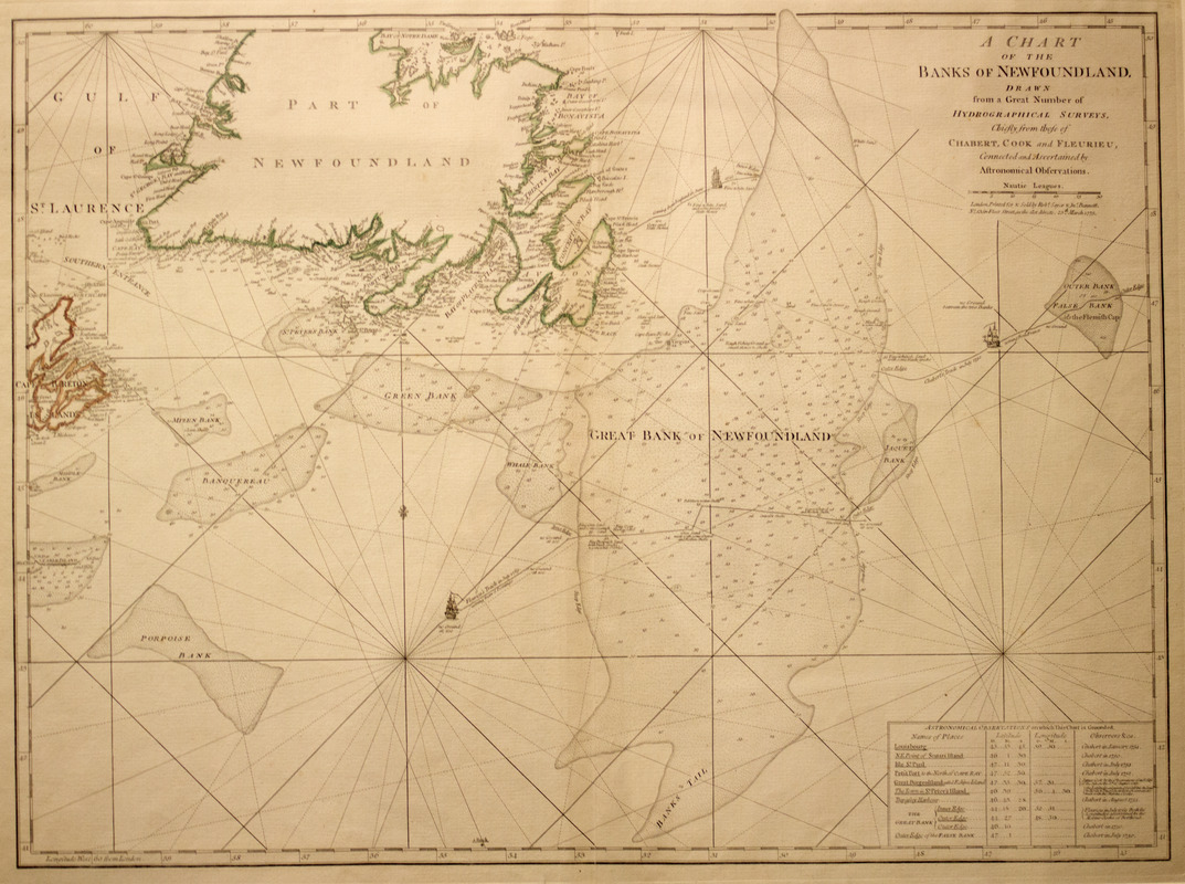
- Title:
- A chart of the Banks of Newfoundland
- Creator:
- Chabert, Joseph Bernard, marquis de, 1724-1805
- Contributor:
- Cook, James, 1728-1779
- Contributor:
- Fleurieu, C. P. Claret (Charles Pierre Claret), comte de, 1738-1810
- Publisher:
- Robert Sayer and John Bennett (Firm)
- Name on Item:
-
Drawn from a great number of hydrographical surveys, chiefly from those of Chabert, Cook, and Fleurieu, connected and ascertained by astronomical observations.
- Date:
-
1775
- Format:
-
Maps/Atlases
- Location:
- Boston Athenaeum
- Collection (local):
-
Cartographic Collection
- Subjects:
-
Nautical charts--Grand Banks of Newfoundland--Early works to 1800
Grand Banks of Newfoundland--Maps--Early works to 1800
- Places:
-
Grand Banks of Newfoundland
- Extent:
- col. map 50 x 67 cm.
- Permalink:
- https://ark.digitalcommonwealth.org/ark:/50959/z603vh45j
- Terms of Use:
-
No known copyright restrictions.
This work is licensed for use under a Creative Commons Attribution Non-Commercial Share Alike License (CC BY-NC-SA).


